


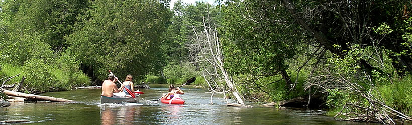


Transportation information for Huron NF is provided below. Travel information includes driving directions, maps, airport information and more.
Transportation Services
Dial-A-Ride Transportation
- Alpena
- Transportation Services
- 989-356-4596
Thunder Bay Transportation
- Alpena
- Transportation Services
- 989-354-2487
Kev's Kab LLC
- West Branch
- Transportation Services
- 989-312-0079
Airports
Most visitors to the Huron National Forest will fly into the MBS International Airport located approximately 80 miles south of the forest in Freeland. Northwest Airlines and United Express provide non-stop flights to destinations such as Detroit and Minneapolis.
Alpena County Regional Airport
- 6 miles W from Alpena
- APN
- Public
- 989-354-2907
Map + Directions
Basic Directions
Huron National Forest is located in Michigan's northeast corner on the Lower Peninsula and is sandwiched between Tawas City to the south and Grayling to the north.


